
Land Surveying and Civil Engineering, Under One Roof
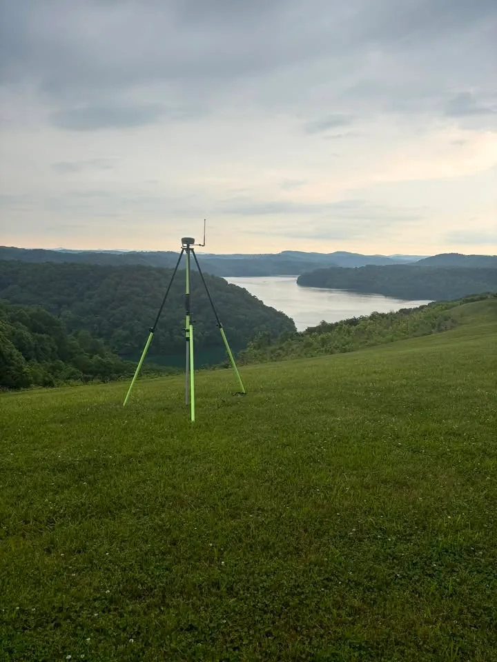
Doss Land Surveying, LLC provides licensed surveying and PE-stamped engineering for landowners, developers, and contractors across Middle Tennessee and Southern Kentucky - based in Lafayette, TN.
Who We Work With
Developers
Subdivision, topographic mapping, ALTA surveys, and construction staking for your next project.
Learn moreLandowners
Boundary lines, house layouts, and easements handled clearly and correctly.
Learn moreCommercial
ALTA surveys, as-builts, and site layout for commercial builds and transactions.
Learn moreUtilities
Gas system design experience and supporting survey work.
Learn moreSurvey the Land. Engineer the Site. One Team.
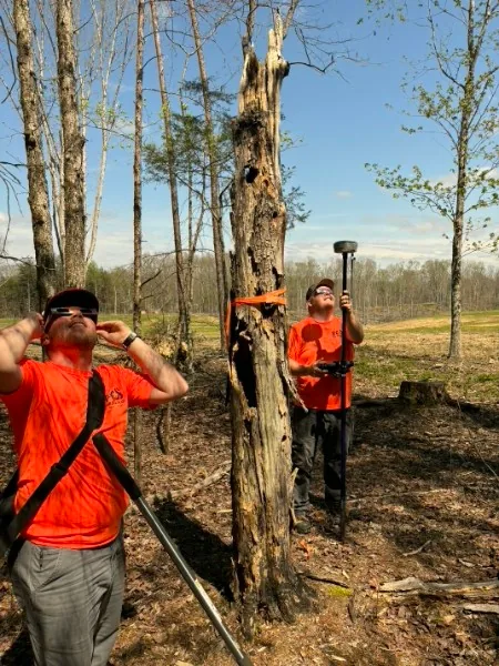
Most surveying firms stop at the property line. We don't. Doss Land Surveying pairs licensed land surveying with in-house professional engineering - site civil design and TDOT entrance/access permitting - so your project moves from boundary to buildable without changing firms. Jacob Doss, our licensed surveyor, and Alex Hill, PE, lead these two sides of the business together.
Every Service, One Firm
One Roof
Surveying and PE engineering in the same firm - no handoff between companies.
Local Knowledge
Based in Lafayette, TN, working the counties we know.
Responsive
A team of field and office staff sized to answer the phone and show up.
The Work, As Delivered
Real sheets from recent jobs - boundary and topographic surveys, subdivision plats, ALTA surveys, and a hospital-campus survey. Click any sheet to view it full-screen or open the PDF.
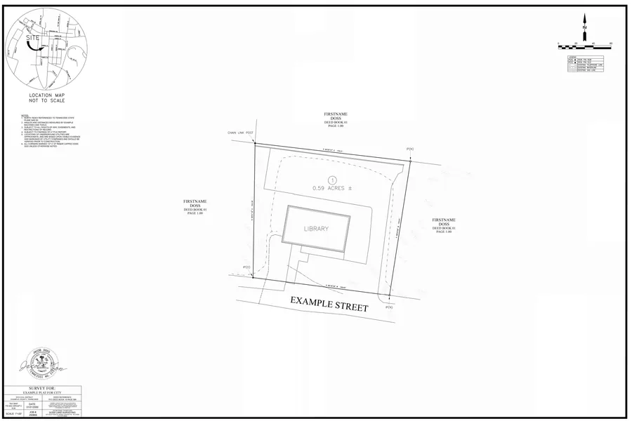 JOB 250805,0.59 AC,SCALE 1"=20'. View the full sheet (PDF).
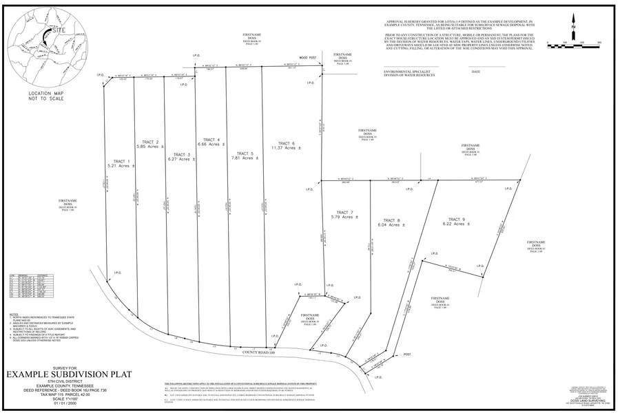 JOB 240610,61 AC,SCALE 1"=100'. View the full sheet (PDF).
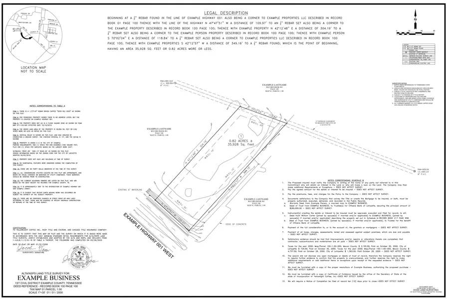 JOB 240811,0.82 AC,SCALE 1"=30'. View the full sheet (PDF).
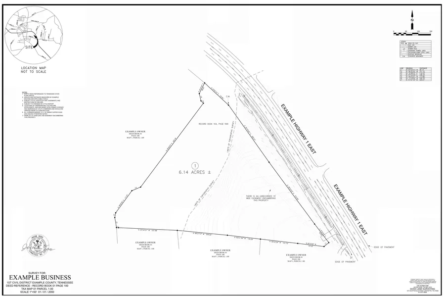 JOB 250106,6.14 AC,SCALE 1"=50'. View the full sheet (PDF).
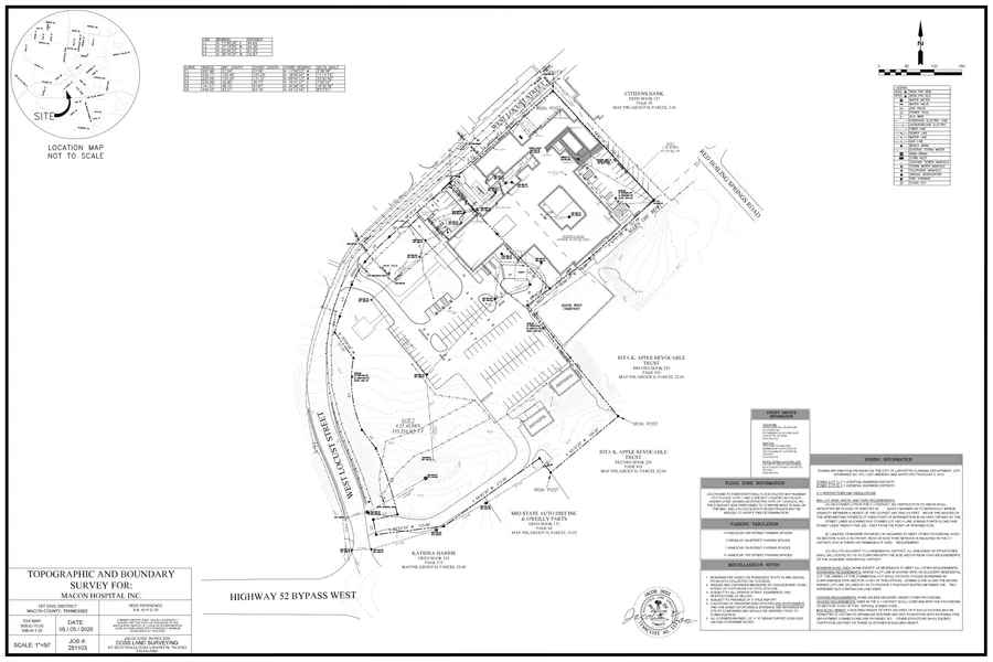 JOB 251103,5.79 AC,SCALE 1"=50'. View the full sheet (PDF).
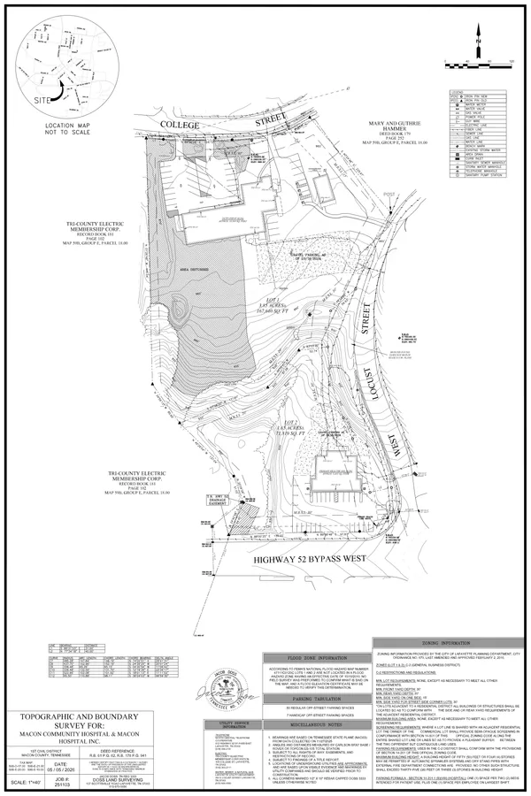 JOB 251103,5.50 AC,SCALE 1"=40'. View the full sheet (PDF).
The boundary, subdivision, and ALTA examples are anonymized exports; the hospital-campus sheets are published as drawn (public record). The linework is exactly what left our office.
Serving Middle Tennessee and Southern Kentucky
Based in Lafayette, TN (Macon County), Doss Land Surveying works throughout Macon, Smith, Sumner, Trousdale, Clay, and Jackson Counties in Tennessee, and Allen and Monroe Counties in Kentucky.
Serving Macon, Smith, Sumner, Trousdale, Clay, and Jackson Counties, TN, and Allen and Monroe Counties, KY.
We regularly travel beyond these core counties - the shaded area on the map covers roughly a two-hour drive from Lafayette. Beyond that, we take on projects throughout the rest of Tennessee and Kentucky. Have a project further out? Ask us.
Ready to start? Tell us about your project.
(615) 670-9856info@dosssurveying.comServing Macon, Smith, Sumner, Trousdale, Clay, and Jackson Counties, TN, and Allen and Monroe Counties, KY.
We also take on projects throughout the rest of Tennessee and Kentucky - just ask.