
Every Service We Provide, in One Place
From a single boundary line to a fully engineered commercial site, here's what Doss Land Surveying does and when you need it.
Survey Services
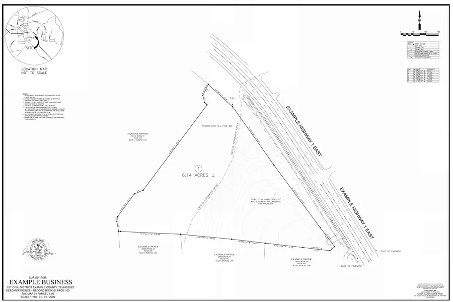
Boundary Surveys
Precisely defining your property lines through established legal principles and field measurement.
Legally defensible documentation of where your ownership begins and ends; protects you in disputes, sales, and financing.
Read the full Boundary Survey guide →
Topographic Mapping
A detailed survey showing all natural and man-made features of a property, used by engineers and developers to evaluate and navigate the terrain.
Gives your design team accurate elevation and feature data before they draw a single plan.
Read the full Topographic Mapping guide →
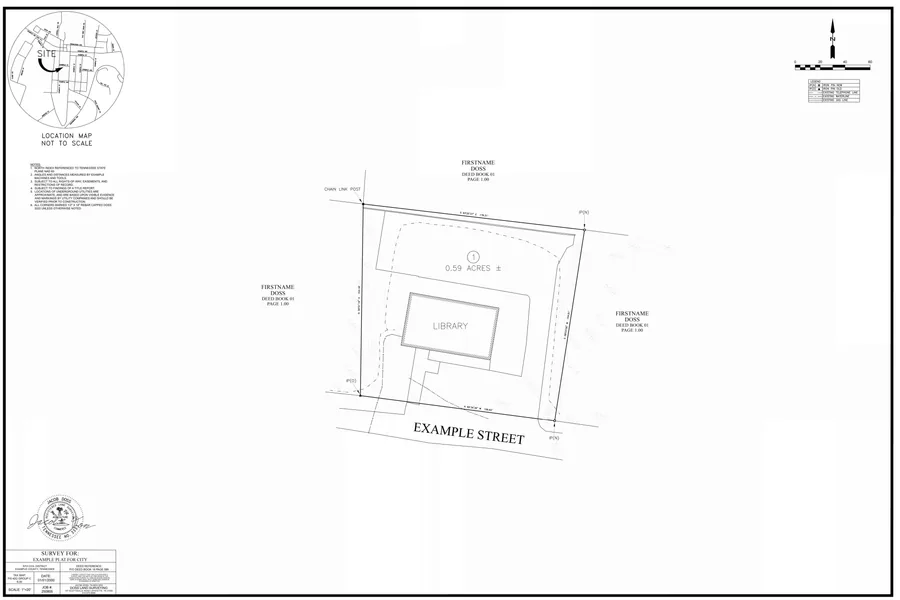
As-Built Surveys
Mapping of existing infrastructure and post-construction evaluation compared to design plans.
Documents what was actually built, catching deviations from the approved design before they become a problem later.
Read the full As-Built Survey guide →
Construction Site Layouts
Implementing design plans through onsite measurements and layout to guide construction contractors.
Contractors build in the right place the first time - fewer field errors, fewer change orders.
Read the full Construction Site Layout guide →
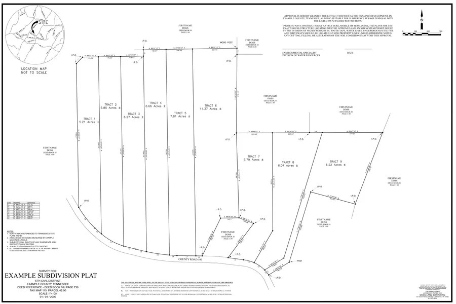
Land Subdivision
Splitting one parcel of land into multiple lots.
Unlocks the development or resale potential of a larger tract, with a legally recorded plat for each new lot.
Read the full Land Subdivision guide →
Advertising Flyers
Informative, survey-based flyers for auction events.
Gives bidders accurate boundary and acreage information drawn directly from the survey, not a rough estimate.
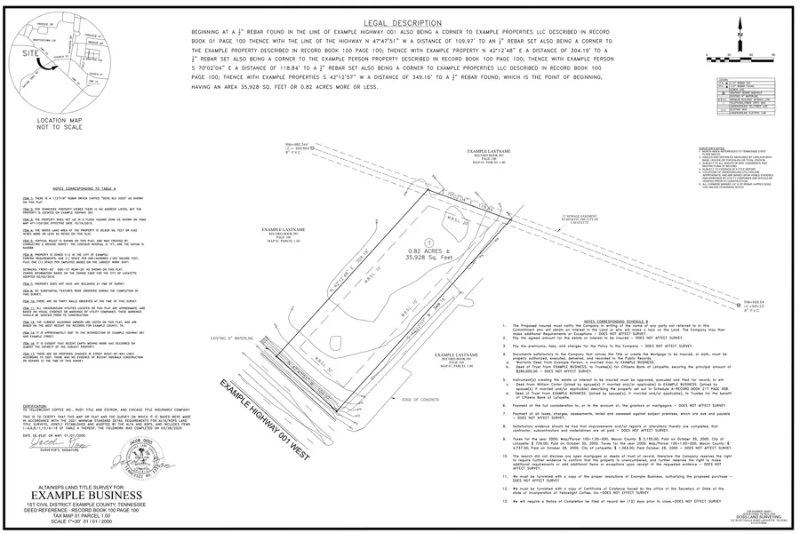
ALTA Surveys
American Land Title Association surveys, typically for larger commercial properties, held to the highest minimum survey standards.
Meets the documentation standard title companies and commercial lenders require, surfacing encroachments and easement issues before closing.
Read the full ALTA Survey guide →
Easement Surveys
Creates and defines an area of land where someone other than the landowner has rights to use that specific area for a stated purpose.
Removes ambiguity about where a third party's rights start and stop on your property.
Read the full Easement Survey guide →
Soil Grid Surveys
A physical grid laid out to help soil scientists map an area for subsurface sewage disposal.
Gives environmental professionals precise testing locations, a required step toward health department approval.
Read the full Soil Grid Survey guide →
House Layouts
The footprint of the architectural foundation is physically marked on the ground in its proper location.
Confirms setback compliance and correct placement before the foundation is poured, avoiding costly rework.
In-House Engineering, Led by Alex Hill, PE
Site Civil Design
Engineering for site development, integrated with our survey data from the same firm.
Grading & Drainage Design
Engineered grading and drainage plans that route water off a site correctly from the start.
Stormwater Management Design
Detention and retention design sized to meet local stormwater requirements.
Erosion Prevention & Sediment Control (EPSC) Plans
Construction-phase erosion and sediment control plans required for permitting and inspection.
TDOT Entrance & Access Permitting
Preparation and submission of entrance/access permit applications for TDOT.
Utility Layout & Coordination
Water, sewer, and gas utility layout coordinated with site design and existing infrastructure.
Gas System Design Support
Alex Hill's natural gas system design background applied to utility-adjacent site and civil work.
Subdivision Engineering
Engineering support for subdivision projects alongside our survey and platting work.
Frequently Asked Questions
How much does a land survey cost?
It depends on the property - the size of the tract, terrain and tree cover, how much deed research is involved, and the condition of the existing corner monuments all affect the work. That is why we quote every job individually rather than publishing a price list. Tell us about your property and we will give you a quote at no charge. Request a quote.
How long does a boundary survey take?
Every job includes deed and courthouse research, field work, and drafting, and the timeline also depends on our current field schedule. When you contact us we will give you an honest picture of the current lead time for your kind of project.
What areas do you serve?
We are based in Lafayette, Tennessee. Serving Macon, Smith, Sumner, Trousdale, Clay, and Jackson Counties, TN, and Allen and Monroe Counties, KY. We also take on projects throughout the rest of Tennessee and Kentucky - just ask.
Will you mark my property corners?
Yes. A boundary survey locates your deeded property lines on the ground - we recover the existing corner monuments and set new ones where they are missing, flagged so you can find them. If you only need specific corners marked rather than a full boundary, ask us about that when you call.
Do I need a boundary survey, a topographic survey, or something else?
If the question is "where are my property lines," that is a boundary survey. If you are designing or building something and need the shape of the ground, that is a topographic survey. Commercial purchases and lenders often require an ALTA survey, and a new house usually needs a house layout. If you are not sure, describe the project and we will point you to the right one. See every service explained.
How soon will you get back to me?
We normally respond within three business days. If it is urgent, call us at (615) 670-9856 during business hours.
Not sure which service you need? Tell us about the project and we'll point you the right direction.
(615) 670-9856info@dosssurveying.comServing Macon, Smith, Sumner, Trousdale, Clay, and Jackson Counties, TN, and Allen and Monroe Counties, KY.
We also take on projects throughout the rest of Tennessee and Kentucky - just ask.