
Topographic Surveys
A topographic survey maps the shape of your land - elevations, contours, and every natural and man-made feature that matters to design. It is the drawing your engineers, architects, and site designers build on, and getting it right before design starts is far cheaper than discovering the ground during construction.
What This Service Covers
Where a boundary survey answers "where are my lines," a topographic survey answers "what is the ground actually doing." Our crew measures the surface in the field - grades, breaks, drainage paths - together with the features that shape a design: buildings, drives, utility lines and structures, trees, and anything else the project needs located.
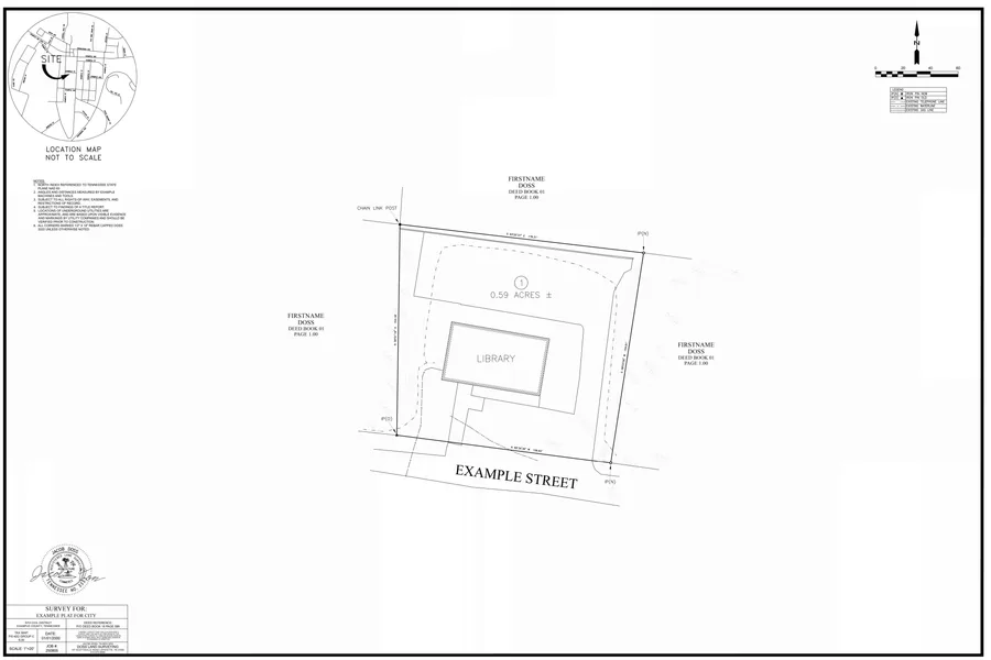
The result is a scaled map with contours and spot elevations that lets a design team evaluate the terrain, plan grading and drainage, and site improvements with confidence. Topographic mapping is routinely combined with a boundary survey on the same sheet, so the design base shows both the ground and the legal limits it sits inside - the way our published boundary-and-topo examples were delivered.
How the Work Runs
Scope the mapping limits.
We confirm with you (or your engineer) the area to be mapped, the contour interval the design needs, and any specific features the project depends on.
Field survey.
The crew measures the ground surface and locates the improvements, utilities, and features within the mapping limits.
Mapping and delivery.
The data is drafted into a contoured topographic map - standalone or on a combined boundary-and-topo sheet - delivered in the format your design team works in.
What You Get
- A scaled topographic map with contours and spot elevations
- Located improvements, visible utilities, and project-relevant features
- A combined boundary-and-topographic sheet where the project needs both
- Data your engineer or designer can take straight into design
What Affects Timing
- The size of the mapping area and the contour interval required
- Terrain and vegetation - dense cover slows ground measurement
- How many improvements and utilities need to be located
- Whether boundary resolution is being performed on the same sheet
- Our current field schedule
When You Need This Survey
- Before site design, building design, or grading and drainage planning
- Ahead of subdivision or development feasibility work
- When a permit application requires existing-conditions mapping
- Any project where the terrain shapes what can be built
Questions We Hear About Topographic Surveys
Do I need a boundary survey with my topographic survey?
Often, yes - a design team usually needs to know both the shape of the ground and the legal limits it sits inside, and combining them on one sheet is more efficient than two separate mobilizations. If the lines are already well established, a standalone topo may be all you need. We will tell you straight which fits your project.
What does my engineer need from a topographic survey?
Ask your engineer for their required mapping limits, contour interval, and feature list before the survey is scoped - designing to the wrong interval or a too-small mapped area is the most common reason topo work has to be redone. We are glad to coordinate scope directly with your design team.
Content reviewed by Jacob Doss, Licensed Surveyor (TN RLS 3333 | KY PLS 4612), Doss Land Surveying, LLC. Serving Macon, Smith, Sumner, Trousdale, Clay, and Jackson Counties, TN, and Allen and Monroe Counties, KY. We also take on projects throughout the rest of Tennessee and Kentucky - just ask.
Starting a design? Get the ground mapped first.
(615) 670-9856info@dosssurveying.comServing Macon, Smith, Sumner, Trousdale, Clay, and Jackson Counties, TN, and Allen and Monroe Counties, KY.
We also take on projects throughout the rest of Tennessee and Kentucky - just ask.